Let’s visualize!
6 Maps to Draw for a Permaculture Site Design
A Step-by-Step Guide
Designing a permaculture site is like solving a puzzle—each piece needs to fit together perfectly for the whole system to function efficiently. By creating six key maps, you can plan a sustainable, low-maintenance, and highly productive garden, farm, or landscape. These maps help you think through many possible scenarios and outcomes before committing to specific strategies or concepts. By working with the unique characteristics of your site, you’ll more easily achieve your goals.
If you’re fresh out of a PDC and aiming to become a designer, this process is invaluable to master. Great ideas need great presentations, which all starts with these 6 maps to draw for a permaculture site design. Part of offering a high-quality service is ensuring your clients are involved and understand the design process. This way, they not only see the reasoning behind permaculture decisions but also feel comfortable and confident with the final results.
Let’s get started!
1. The Base Map
Understanding the Lay of the Land
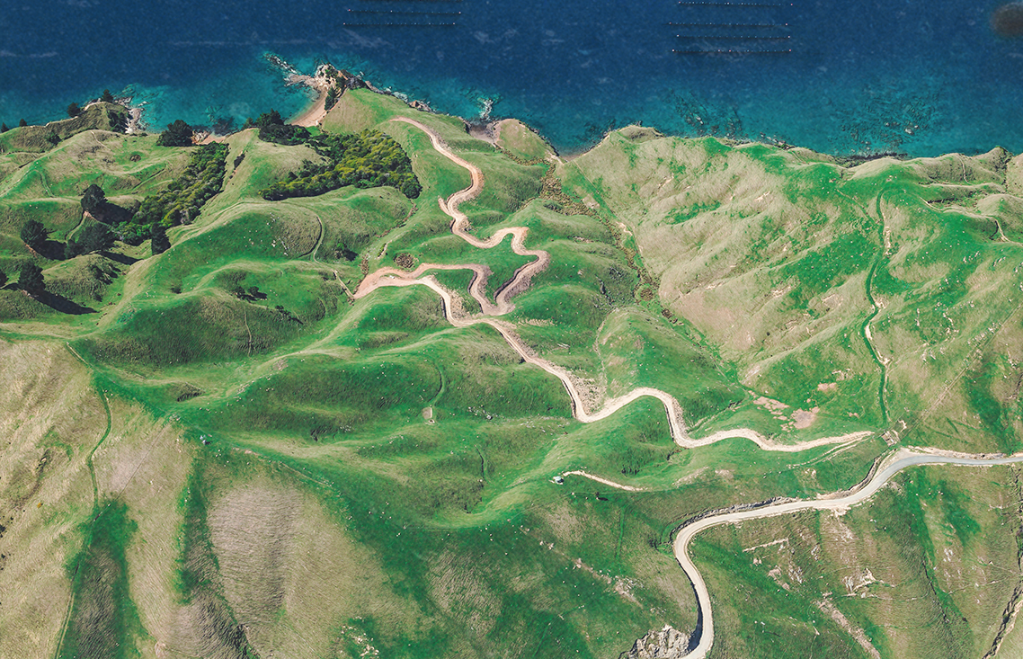
The base map is where everything starts. Think of it as your canvas! This map shows the raw, unaltered landscape of your site, highlighting features like contour lines, water flow, structures, and roads. You’re capturing the current reality of the site without adding any design elements just yet.
Why is this important? Without knowing the existing conditions, it’s nearly impossible to design with the land. Permaculture is all about working with the natural patterns, and your base map will help you understand those patterns.
How to draw it? If you’re hand-drawing, place tracing paper over an aerial image of your property and trace the outlines of essential features like the house, driveway, trees, and streams. If you’re working on a computer, you can use Google Earth for a solid base map: Google Earth. From there, you can add different layers and features using a drawing tool to build your map, outlining critical elements such as structures, contours, and vegetation.
To gather data, you can also use websites like Contour Map Creator, Theodolite app, or Contour Map Generator for a more accurate depiction of contour lines, slopes and elevation.
2. The Sector Map
Mapping External Forces
Once you’ve got your base map, it’s time to consider the forces acting on your site from outside—this is where the sector map comes in. It showcases external factors like wind direction, sunlight, wildlife patterns, and even pollution that could influence your design.
Why is it helpful? This map helps you turn potential problems into assets! For example, you might plant windbreaks to slow down harsh winds, or channel a neighbor’s runoff to water your garden.
What to include? Identify significant sectors for your site:
Wind: You can use online resources like Meteoblue to see how wind moves. This source is also great for other climatic factors.
Sunlight: Track where the sun hits your property using a tool like SunCalc to understand how neighboring trees or buildings affect light exposure.
Snow/Fire: If you’re in an area prone to heavy snowfalls or wildfires, map out how they might impact your design.
Wildlife: Consider local wildlife. You don’t want your freshly planted saplings becoming deer snacks, but you might want to attract other species like hedgehogs.
Water: Plot seasonal flooding and drainage patterns based on the contour of the land.
Views/Privacy: Highlight areas where you’d like more privacy or where you want to preserve scenic views.
Pollution: Identify possible pollution sources like pesticides drifting from nearby farms, waterborne contaminants, or light and noise pollution.
3. Water, Access, Structure Map
The Unmovable Trio
The water, access, and structure map comes next. These are the “big three” elements that are tough or impossible to change without major effort. So, they should always be mapped early in the design process, still only forming the foundations among the 6 maps to draw for a permaculture landscape design.
Why are these so critical? Water always follows gravity. Roads need to navigate between watercourses, and structures (like homes, barns, or sheds) are typically fixed. Designing around these features ensures your project works with the site, not against it.
What to look for? This map shows where water flows or colelcts, where roads already exist (or need to go), and where immovable structures such as houses stand. Once you have this, everything else that is easier to move can be planned around these elements.
Let’s Talk GET IN TOUCH Let’s Talk GET IN TOUCH Let’s Talk GET IN TOUCH Let’s Talk GET IN TOUCH

4. The Zone Map
Defining Areas by Use
In permaculture, zoning is about dividing your site based on how frequently different areas will be used. Zones range from 0 (inside your home) to 5 (wilderness), with zones in between focused on various intensities of use.
Why zones? Because they help organize your site efficiently so that high-maintenance areas like gardens are close to your home, while less-frequented areas, like orchards or wild zones, are farther away.
1st Zone: Closest to the house, ideal for intensive activities like veggie gardens and pathways.
2nd Zone: Still nearby, perfect for perennials, small livestock, or compost systems.
3rd Zone: Fields or orchards that require less attention but still need regular visits.
4th Zone: Managed forest or pastureland.
5th Zone: Untouched wilderness for wildlife and personal retreat.
Even though zones are typically shown as concentric circles during permaculture education for easier understanding, remember that zones are fluid and can be adapted to fit each site’s unique characteristics.
5. Concept Design Map
Dream Big!
Now comes the fun part—concept design! This is where you get creative, brainstorming what to include in each zone. Whether it’s a food forest, a pond, or a community space, this map allows you to play with different ideas and see how they fit.
How to get started? Make a list of everything you want to include: veggie beds, animal systems, compost, ponds, orchards, etc. Use cutouts or digital icons to move these around on your base map and experiment with different layouts until you find the best setup.
Why do this? Concept mapping lets you visualize the overall structure of your permaculture design, helping you explore possibilities and refine your plan.
6. The Master Plan
The Final Blueprint
We’ve reached the final step!
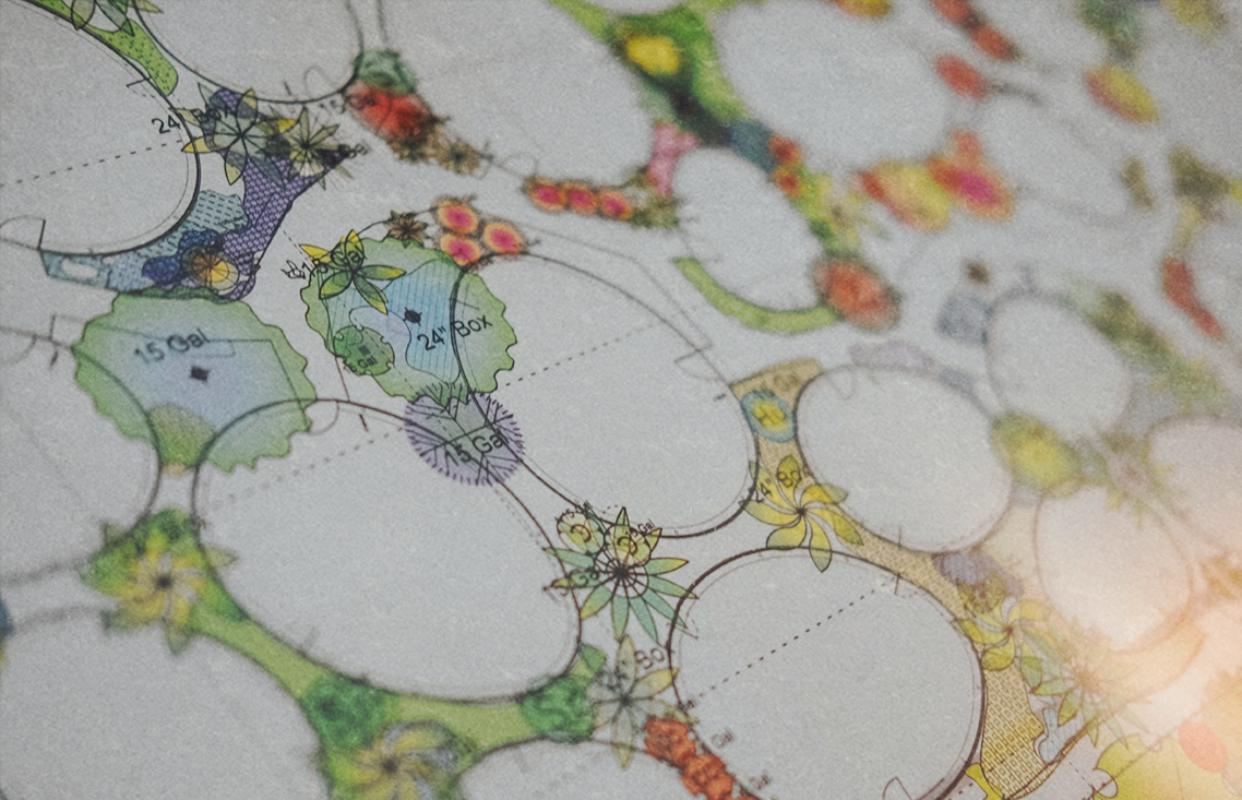
What to include? The master plan needs to be as detailed as possible. Now, you’ll zoom in on every detail, specifying plant species, animal systems, resources, road materials, water inflows, and anything else important for implementation. The goal is to create a guide that’s easy to follow without needing further thought.
How do I create it? Make the map visually appealing, whether for yourself or a client: it should inspire and excite. If you’re artsy you can try hand-drawing, or if you’re tech-savvy, you can use software like Procreate, Photoshop, or AutoCAD. It’s helpful to create not only 2D but 3D versions as well – programs like Lumion or 3D max are great for this. If the site is too large to visualize each detail, break it down into separate maps for each zone or function.
Go the extra mile! Finally, include a report that explains everything clearly, ensuring it’s easy to understand even years later when implementation happens.
Too complex to DIY?
Don’t worry, helping you get through the difficult steps is what professional designers are for. If you feel stuck in your design process, don’t hesitate to reach out to us! We make sure, that the 6 maps to draw for a permaculture site design are on point and accurate, and result in a beautiful end product: the Master Plan.
Let’s Talk GET IN TOUCH Let’s Talk GET IN TOUCH Let’s Talk GET IN TOUCH Let’s Talk GET IN TOUCH


